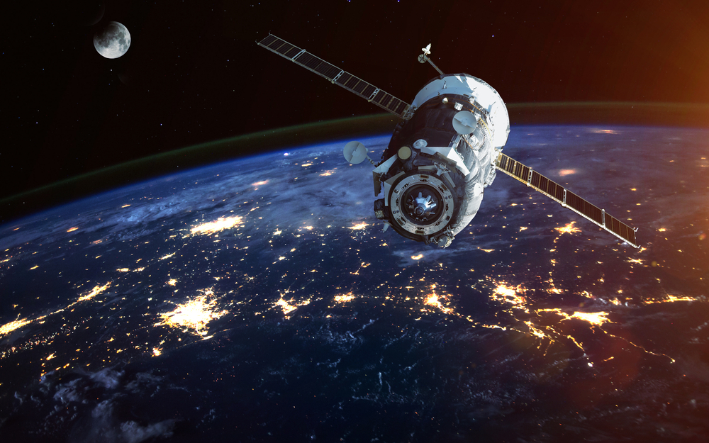
Remote sensing is a powerful and versatile tool that allows us to observe and gather information about the Earth's surface and its environment from a distance. It has revolutionized the way we study and monitor our planet, providing valuable data for a wide range of applications. In this essay, we explore the concept of remote sensing, its significance, applications, and the technology behind it.
Remote sensing refers to the process of collecting data or information about an object, area, or phenomenon without being in direct physical contact with it. This is achieved through the use of various sensors and instruments to capture data from a distance, often from aircraft or satellites.
Significance of Remote Sensing
- Remote sensing is an indispensable tool for monitoring changes in the environment, including deforestation, land use, and natural disasters such as wildfires and floods.
- It is used to assess crop health, estimate crop yields, and track forest resources, helping in sustainable land management and resource allocation.
- Remote sensing aids in geological mapping and mineral exploration, identifying potential mineral deposits and geological features.
- Satellites equipped with remote sensing technology provide crucial data for weather forecasting, climate monitoring, and tracking severe weather events.
- Remote sensing is used in urban planning to analyze urban growth, land use, and infrastructure development.
Technology Behind Remote Sensing
- Remote sensing relies on sensors that detect electromagnetic radiation, including visible light, infrared, and microwave, which is reflected or emitted by objects on the Earth's surface.
- Earth-observing satellites are equipped with sensors and cameras that capture images and data from space. They orbit the Earth at different altitudes and can provide a global perspective.
- Planes and drones equipped with remote sensing instruments are used for more localized and specific data collection.
- The collected data is processed and analyzed to create images, maps, and other forms of information that can be used for various applications.
Challenges and Future Trends
Despite its many benefits, remote sensing faces challenges such as data accuracy, interpretation, and the need for constant technological advancements. The future of remote sensing includes developments in hyperspectral imaging, artificial intelligence, and improved data-sharing networks to further enhance its capabilities.
Conclusion
Remote sensing has transformed our ability to understand, manage, and protect our planet. Its applications span across various fields, from environmental monitoring to disaster management and urban planning. As technology continues to evolve, remote sensing will play an increasingly critical role in addressing global challenges and providing insights from afar, contributing to a more informed and sustainable world.
